Using satellites to monitor crop water use
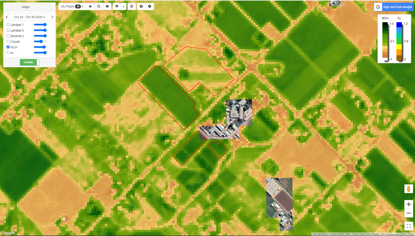
What is IrriSAT? IrriSAT is an online software package which uses specialised satellite imagery to provide users with property-specific information on plant health, growth and vigour, at no cost. It also estimates plant water use, and soil-water depletion by combining data from weather stations and crop growth. How does it [...]