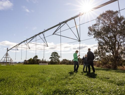
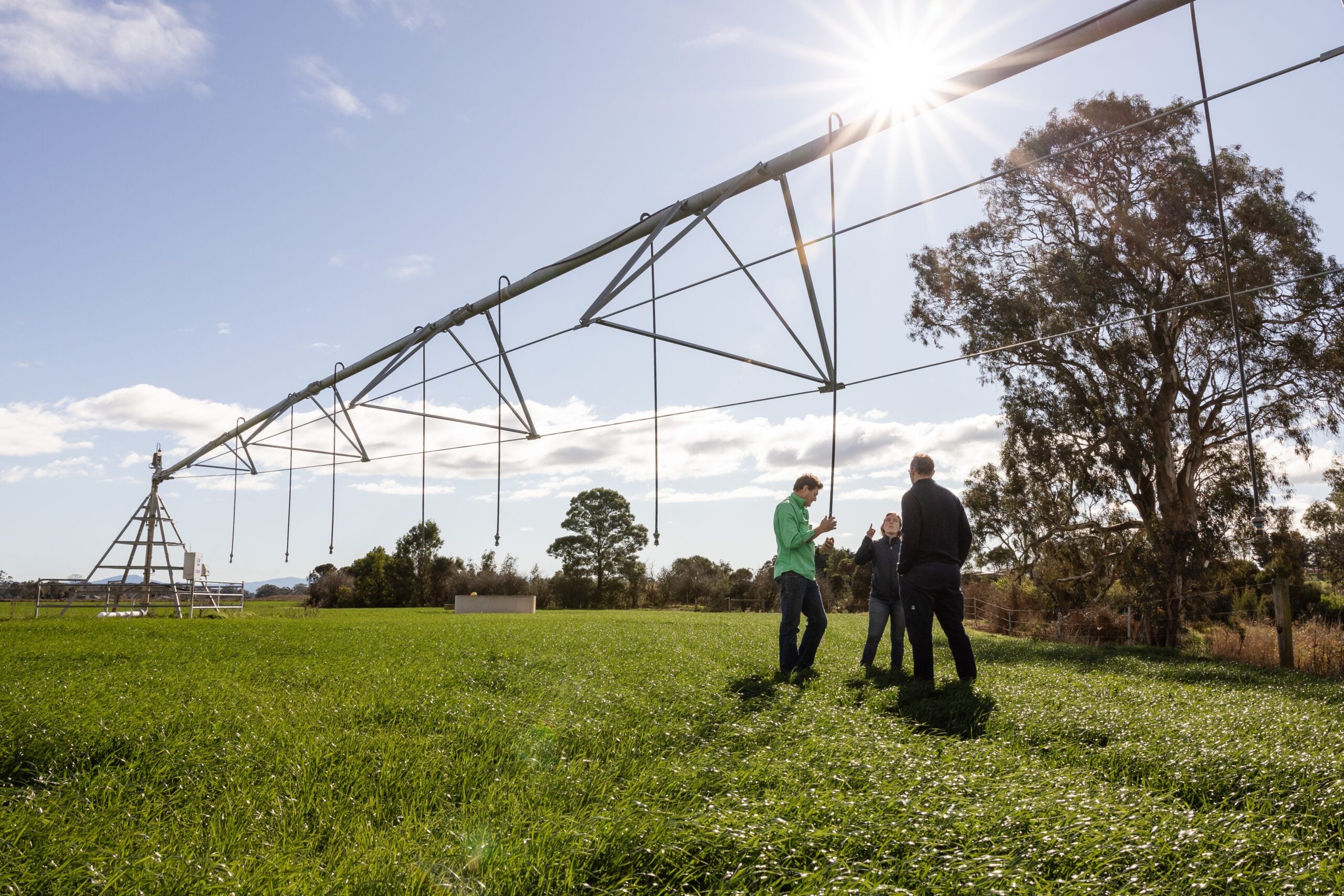
Using satellites to monitor crop water use
What is IrriSAT?
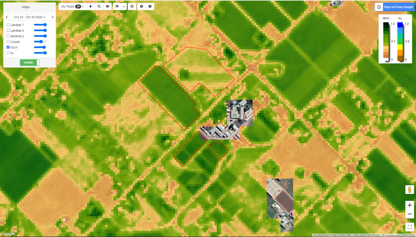
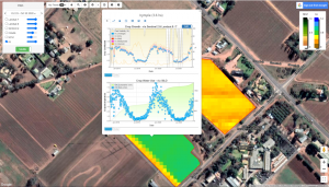
IrriSAT is an online software package which uses specialised satellite imagery to provide users with property-specific information on plant health, growth and vigour, at no cost.
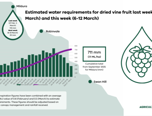
It also estimates plant water use, and soil-water depletion by combining data from weather stations and crop growth.
How does it work?
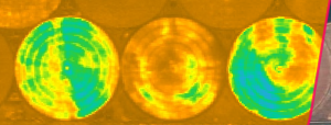
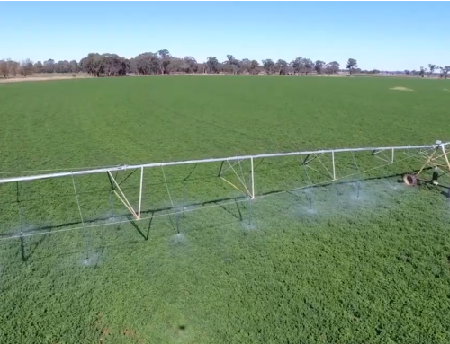
Two satellites, Sentinel-2 and Landsat 8, capture images every week using multispectral cameras. They use the reflectance in two wavelengths of light (Red and Near-infrared) to calculate a crop health index known as NDVI.
NDVI is used to measure the density and condition of vegetation.
Because NDVI is related to crop canopy cover, it is directly linked to plant transpiration. The NDVI value can then be converted to a crop coefficient (Kc) and used to estimate crop water requirements from evapotranspiration data from weather stations (ETo).
Why use IrriSAT?
IrriSAT gives growers free, site-specific information on crop health and water use. It captures the variation in water use requirements between crop varieties and land characteristics which standard crop coefficients cannot provide.
It can also be used to identify variation on crop performance which may be related to irrigation system uniformity, crop variety, soil variability or disease.
Further Information
- Set-up IrriSAT on your own property
- Read more about remote sensing and crop health