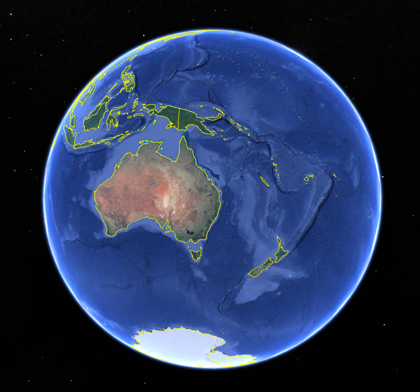
Get your farm soil maps in Google Earth

Accessing soil maps for your farm in the Goulburn Murray Irrigation District (GMID) or Sunraysia irrigation area just became a bit easier. If you have Google Earth or Google Earth Pro loaded on your computer you can directly download the maps for your area. How to access the maps If [...]

2025-11-05T14:11:52+11:003 December 2024|Farm Planning, Home, Resources|

The Dirty Side of Irrigation

Knowing your soil types is an important first step when considering the design and selection of your irrigation system. It will also help guide what crops can be grown and how often to irrigate.     Victorian Resources Online provides great information about soils across the state. Detailed soil maps can [...]

2023-05-16T14:45:17+10:0028 March 2018|Farm Planning, Home, Resources|

Calculating Readily Available Water at the Macalister Irrigation Farm

A soil pit was recently dug at the Macalister Demonstration Farm (MDF) to better understand the Readily Available Water (RAW) content of the farm. RAW is the approximate amount of water measured in millimetres, held in the soil that is easily available to plants. This water can be used by [...]

2018-09-27T16:53:54+10:0027 September 2018|Home, Irrigation Scheduling, Resources|
Go to Top