Display on Home Page

Victorian Mallee Weekly Irrigation Requirements

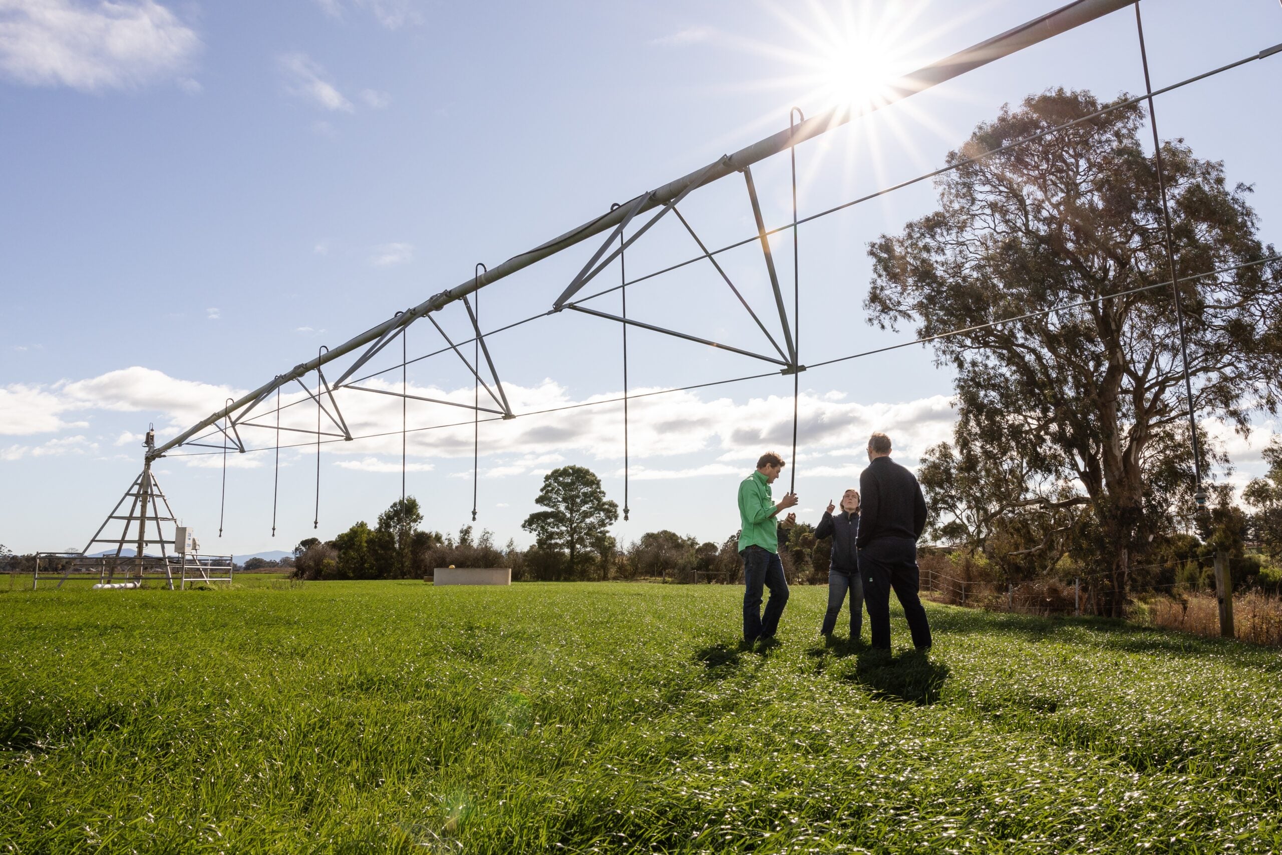
Irrigators in the Mallee irrigation region can access weekly evapotranspiration (ET) data and related resources to help plan and refine irrigation programs for their industry. These publications combine daily weather and climate data with evapotranspiration and crop coefficients to estimate crop water requirements. Use the webpages listed below to view [...]

Be Part of the Gippsland Irrigation Expo 2026 – Exhibitors Wanted

We are inviting irrigation businesses to showcase their products, services and latest technologies at the Gippsland Irrigation Expo this year. The Gippsland Irrigation Expo will return to the Sale Showgrounds on Wednesday 20 May 2026. The last event in 2020 attracted more than 500 visitors and this year’s Expo promises [...]

Get your farm soil maps in Google Earth

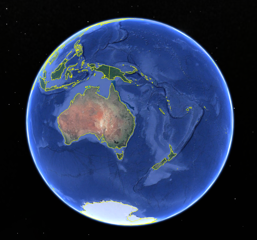
Accessing soil maps for your farm in the Goulburn Murray Irrigation District (GMID) or Sunraysia irrigation area just became a bit easier. If you have Google Earth or Google Earth Pro loaded on your computer you can directly download the maps for your area. How to access the maps If [...]

2025-11-05T14:11:52+11:003 December 2024|Farm Planning, Home, Resources|

Who Got the Irrigation Water This Season and Why: Water allocation processes

9 June 2022 https://www.youtube.com/watch?v=oI0HenJzg0s WATER ALLOCATION PROCESSES The connected southern Murray Darling Basin (sMDB) extends across northern Victoria, southern New South Wales, and parts of South Australia, and comprises different catchments, irrigation regions, water storages and waterways. Each state in the sMDB has their own unique suite of [...]

2022-06-22T11:12:38+10:0022 June 2022|Home, Water Management|

Soil survey vs soil sampling. What’s the difference?

In irrigated horticulture it is essential to understand soil characteristics.  It allows growers to maximise the efficiency of irrigation system design and to support crop type selection. It’s also important to understand the difference between different soil survey and soil analysis techniques so the appropriate method can be chosen. In [...]

2020-07-09T10:29:04+10:009 July 2020|Farm Planning, Home, Resources|

Monitoring health and crop water requirements using remote sensing

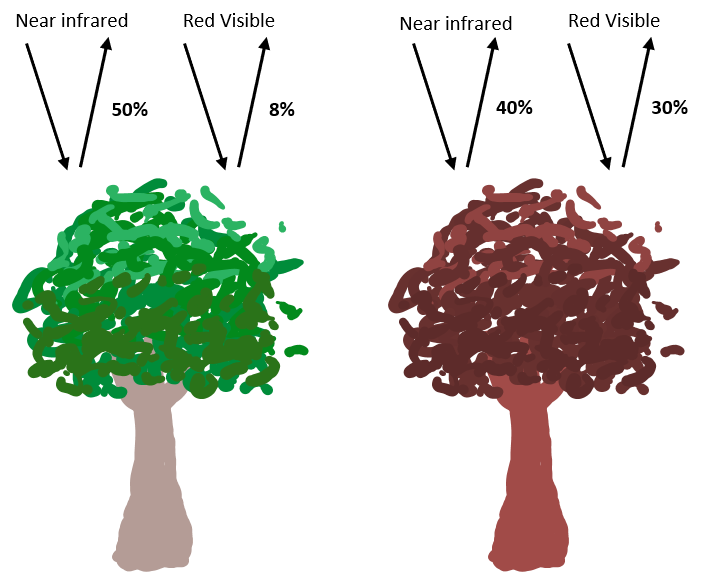
Human eyes can see colour in the visible spectrum of light, such as the colours of the rainbow (blue, green and red visible light bands). Multispectral sensors or cameras from drones, satellites or other aerial vehicles can see these colours as well as the bands of light in the broader [...]

2020-05-27T08:59:33+10:0025 May 2020|Home, Irrigation Scheduling, Resources|

Introduction to remote sensing for crop health

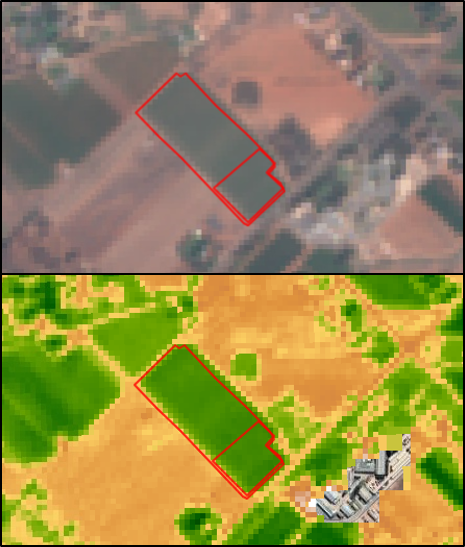
Remote sensing refers to a suite of technologies that use sensors to obtain information about an object without making contact with it. The sensors used to collect this information come in two forms, passive and active. Passive sensors capture information that is reflected or emitted by the object being observed. [...]

2020-05-25T16:12:17+10:0011 May 2020|Home, Irrigation Scheduling, Resources|

Distributing the Irrigator’s Share

On-ground works are nearing completion for the Connections Project, the $2 billion investment in irrigation infrastructure modernisation in the Goulburn-Murray Irrigation District (GMID). Once complete, the final water recovery can be confirmed and distributed. The Irrigators’ Share Consultative Committee (ISCC) - appointed by the Minister for Water in June 2019 [...]

2020-04-30T15:45:04+10:001 May 2020|Home, Resources, Water Management|

Goulburn to Murray IVT trade rule review

The Department of Environment, Land, Water and Planning (DELWP) needs your input to proposed changes to the Goulburn to Murray trade rule. Delivering water from the Goulburn inter-valley trade account during summer and autumn to support water requirements of the Murray system has caused significant environmental damage to the lower [...]

2020-04-30T15:43:45+10:0030 April 2020|Home, Resources, Water Management|
Go to Top