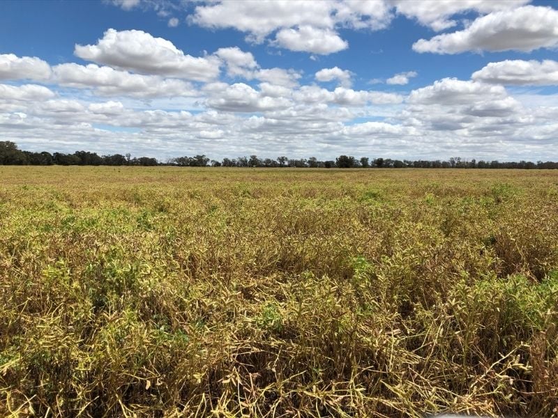
Caniambo
The Caniambo SMM site is located 14km south east of Shepparton and 22km south west of Dookie. It is funded by the Gecko Clan Landcare Network.
The Caniambo SMM site is located 14km south east of Shepparton and 22km south west of Dookie. It is funded by the Gecko Clan Landcare Network.
The Mt Cole Creek SMM site is 22km east of Ararat.
The Joel Joel SMM site is 24km east of Stawell.
The Raywood SMM is about 30 km north of Bendigo, closest other towns are Bridgewater to the west, Elmore to the east and Pyramid Hill is a Northern district and is part of the original network established by the Raywood Regen Ag group. This soil moisture probe is supported by [...]
The Raywood SMM is about 30 km north of Bendigo, closest other towns are Bridgewater to the west, Elmore to the east and Pyramid Hill is a Northern district and is part of the original network established by the Raywood Regen Ag group. This soil moisture probe is supported by [...]
The Raywood SMM is about 30 km north of Bendigo, closest other towns are Bridgewater to the west, Elmore to the east and Pyramid Hill is a Northern district and is part of the original network established by the Raywood Regen Ag group. This soil moisture probe is supported by [...]
The Dingee SMM site located 4km north of Dingee in central Victoria and is part of the original network established by the Raywood Regen Ag group. This soil moisture probe is supported by North Central CMA through funding from the Australian Government's National Landcare Program.
The Serpentine SMM site located 6km south of serpentine on the Loddon river in central Victoria and is part of the original network established by the Raywood Regen Ag group. This soil moisture probe is supported by North Central CMA, through funding from the Australian Government's National Landcare Program. [...]
The Lawloit district is between Nhill and Kaniva, backing onto the Little Desert, in the Wimmera.
The Sheep Hills district is located to the west of Donald and east of Warracknabeal.