Remote sensing refers to a suite of technologies that use sensors to obtain information about an object without making contact with it. The sensors used to collect this information come in two forms, passive and active.
Passive sensors capture information that is reflected or emitted by the object being observed. Cameras are a form of passive sensors because they capture light or energy reflected by an object.
Active sensors produce energy and detect how that energy is reflected or scattered from the target. RADAR, which emit radio waves and detects echoes from objects in its path, is a form of active sensor.
Remote sensing (RS) can be used in many different contexts and is an important tool for precision agriculture. RS has advantages for on-farm management as it is non-destructive, can be automated and provide near real-time access to data on farm over a large area.
An example are sensors which can take advantage of the unique ‘spectral signature’ of healthy, photosynthesising plants, to report on crop health.
Healthy plants have strong reflectance of Near-Infrared light (NIR) and absorb most visible light, whereas unhealthy plants reflect more visible light. Bare soil tends to reflect more visible light than plants with steadily increasing reflectance in to the NIR.
These differences in reflectance over the different wavelengths of light are known as the ‘spectral signature’ of plants. They are captured by specialised multispectral cameras which take images focussing on individual bands of the electromagnetic spectrum; blue, green and red visible light bands, near infrared (NIR) and short-wave infrared (SWIR) bands.

The ‘spectral signature’ of green vegetation. Visible light wavelengths are 0.4-0.7 µm, the small peak is the green band, and infrared 0.7-1 µm (Image source: Humbodlt State University).
There are three main sources of RS information for crop health analysis;
- satellites,
- aircraft and
- unmanned aerial vehicles (e.g. drones).
Satellites and manned aircraft have been the traditional platforms for gathering aerial imagery. Both methods are able to provide users with valuable information about spatial variation in crop health.
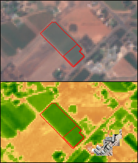
Satellites have the coarsest resolution and a fixed revisit (the time it takes for the satellite to return to the same location) period. The Landsat satellites collect data every 8-16 days at a 30 x 30m pixel resolution, and Sentinel-2 collects data every 2-5 days at a 10 x 10m resolution.
Data from these platforms is freely available but must be converted into crop indices before they can be used to interpret crop health. Online platforms like IrriSAT can do this, allowing users to access processed Sentinel-2 and Landsat data. Some commercial satellites capture data at a higher resolution than Landsat and Sentinel-2 but are not available for free.
Manned aircraft can provide higher resolution data than satellites, which may be beneficial if the user wants more detail to distinguish the canopy of plants from the inter-row area. This platform also provides more flexibility in the timing of flyover; however, costs will increase the more frequently flyovers are undertaken. Aircraft are best used to monitor key growth stages in crops.
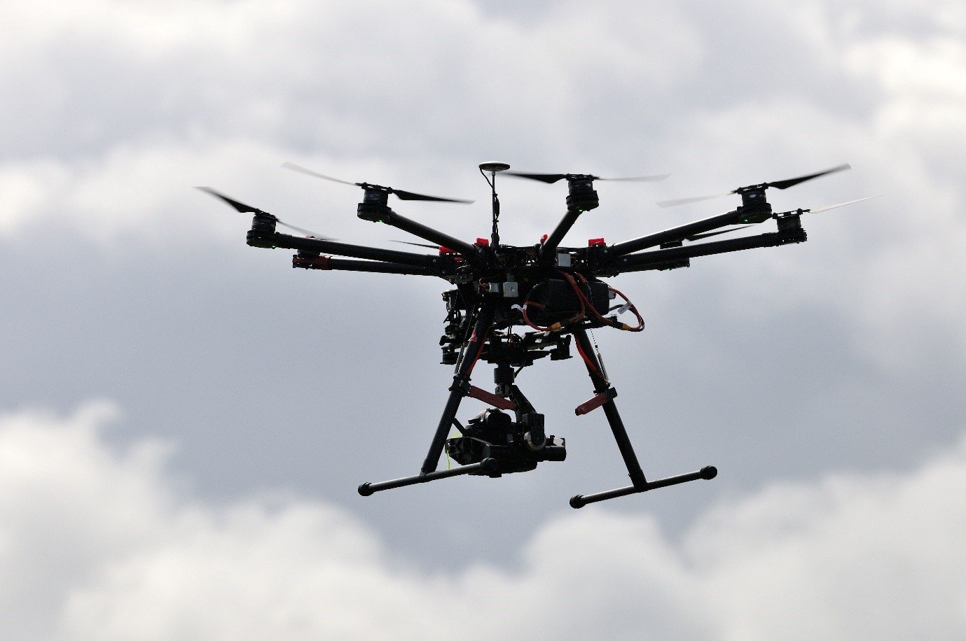
Drones are used to capture multispectral imagery to monitor crop health.
Unmanned aerial vehicles such as drones are becoming increasingly popular tools for farm management. They generate the highest resolution data (>5cm) available and if privately owned, can do even more frequent flyovers.
Increased flexibility allows users to time flyover so imagery is captured at important growth stages. Such high-resolution data does come with compromises including more time taken to complete flyovers for an entire property, very large datasets, and longer processing periods.
Data at this resolution is most useful for research contexts and currently provides little added benefit over aircraft and satellite imagery for calculating and using vegetation indexes.
Remote sensing is becoming more frequently used in farm management in many applications ranging from yield estimation to weed identification and crop health, although on ground verification is still needed.
There is still a significant amount of innovation and development occurring in the RS area. With more research, imagery will become more specialised (perhaps focussing on more, and narrower bands), precise, and better related to crop characteristics to provide a quick diagnosis for on-farm issues.
Content sources and further information
Monitoring health and crop water requirements using remote sensing
What to know about Evapotranspiration and how to use it to schedule irrigations