Gippsland
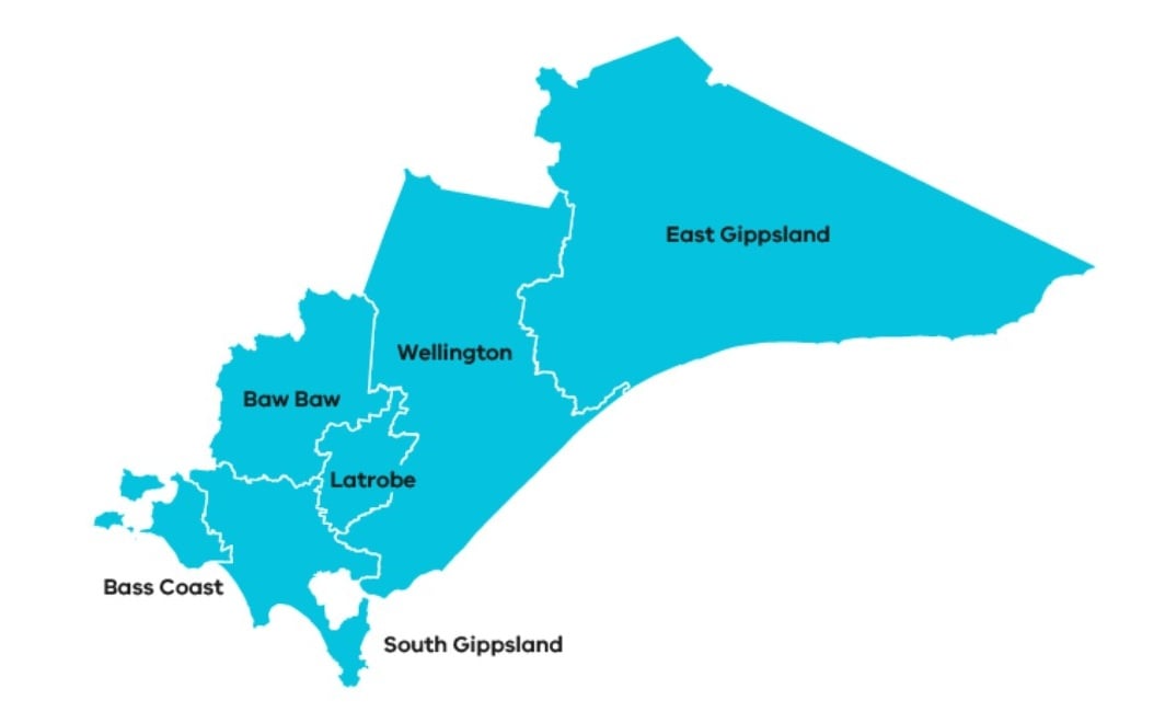
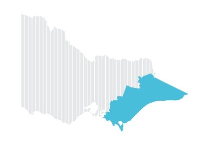
Gippsland has a 41,600 square kilometre footprint and covers the entire south-east of Victoria. It includes the traditional lands of the Gunaikurnai, Bunurong, Wurundjeri and Taungurung Nations, as well as other Traditional Owner groups who are not formally recognised.
Gippsland is geographically diverse landscape featuring many natural attractions such as the Gippsland Lakes, Wilsons Promontory, and extending from the coast to Victoria’s high country and snow fields.
Agriculture in Gippsland is based on dairying, broad acre grazing, horticulture, cropping, forestry and fishing. Gippsland produces over a quarter of Victoria’s dairy. The region also has a strong energy sector with coal mining and electricity generation in the west, and off-shore oil and gas production.
The Gippsland Drought Resilience Plan was produced collaboratively by a wide range of local residents, groups and organisations. A Drought Resilience Reference Group was established to steer the Plan’s development and included key stakeholders with expertise in agriculture, regional development, water, governance, community and natural resource management.
Implementing activities in Gippsland
Food & Fibre Gippsland is the Phase One Plan Coordinator for the Gippsland region, receiving a $380,000 Implementation Grant to coordinate and deliver resilience building activities across the region.
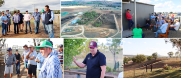
Food & Fibre Gippsland have delivered 7 activities:
- Gippsland Agricultural Group Spring Field Day – Held by Gippsland Agriculture Group in Bairnsdale, the annual Spring Field Day (October 2024 and 2025) showcased results from research initiatives, including trials on livestock, soil, pastures, and grains.
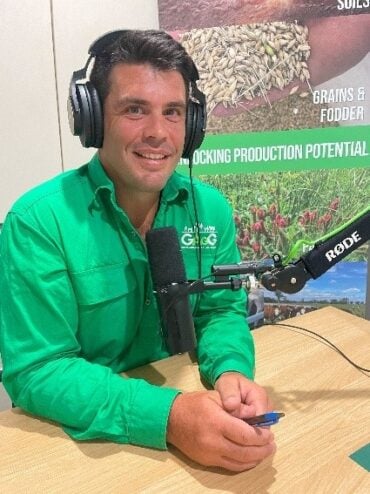
- Digging Deeper Ag Chats with Al podcast – Launched in February 2025, Digging Deeper is a weekly podcast with real farmers having real conversations. Hosted by Al Micallef of Gippsland Agricultural Group, the podcast features different guest speakers each episode, sharing inspiring stories and practical insights. The podcast has had almost 10,000 downloads since its launch and is reaching listeners as far away as the United States, Germany and South Africa.
- Advanced Farm Manager Study tour – In Autumn 2025, 20 wool, beef, dairy, sheep, and poultry producers from Gippsland embarked on a 5-day intensive study tour in the New England region of NSW. This initiative empowered producers to explore innovative, resilient farming practices tailored to their unique challenges. Participants were selected for their strong peer influence and potential to support others through future droughts.
- Gippsland Agricultural Leadership Program – Held in Autumn 2025, 15 Gippsland-based farmers, business and community members engaged in leadership training and an immersive study tour. Facilitated by agricultural consultant Chris Mirams, leadership expert Dr Gary Saliba and experienced farmer and executive Landcare member Jenny O’Sullivan, participants explored practical approaches to change management and gained valuable tools to support their personal and community resilience.
- Strengthened regional governance – Regional stakeholders have consistently highlighted the need for stronger regional coordination and governance in preparing for, managing through and recovering from drought. RDRP implementation funding has supported Food & Fibre Gippsland and regional stakeholders to collectively plan for, and define stakeholder responsibilities, for future droughts.
- Soil monitoring – improved access to real-time climate data through the strategic placement of soil probes and weather stations across West Gippsland – including Buffalo, Phillip Island, and Neerim South. This data is supporting farmers to make informed decisions around soil health, pasture growth, and animal performance.